
Telangana Plans High-Tech Survey of Agricultural Lands
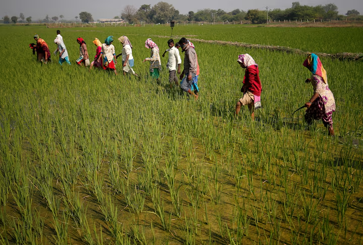
The Telangana government is gearing up to conduct a comprehensive high-tech survey of agricultural lands to resolve long-standing land-related issues. The initiative aims to enhance transparency, minimize disputes, and verify claims under the Rythu Bharosa scheme, ensuring that only genuine beneficiaries receive support.
Key Highlights of the Survey Plan
-
Use of Advanced Technologies: The government is considering Real-Time Kinematic (RTK) surveying and GPS-based mapping for accurate land measurements.
-
Verification of Rythu Bharosa Claims: The survey will help identify bogus claims under the farmer support scheme.
-
Pilot Project & Budget Allocation: A pilot project is expected soon, with the Revenue Department requesting ₹1,000 crore for its implementation.
-
Alignment with BHU Bharati Act, 2024: The survey supports the new law mandating survey maps for land transactions.
-
Procurement of Infrastructure: Authorities have been asked to acquire necessary equipment and software for the survey.
-
Manpower Reassignment: Staff from allied departments may be reassigned to meet workforce requirements.
-
Learning from Karnataka’s Model: The state is studying Karnataka’s success in digitizing 95% of its land records.
-
Potential Impact: If executed well, the survey could improve land governance and strengthen agricultural policies.
Objectives of the Survey
1. Resolving Land Disputes
Unclear ownership records and overlapping claims have been persistent issues in Telangana. The survey aims to provide accurate land boundaries and ownership details to reduce legal disputes.
2. Enhancing Transparency in Land Transactions
By mapping agricultural lands with high-precision technology, the government intends to eliminate fraudulent transactions and unauthorized claims.
3. Ensuring Proper Implementation of Rythu Bharosa
The Rythu Bharosa scheme, which provides financial assistance to farmers, has been plagued by bogus claims. This survey will ensure that only genuine landowners receive benefits.
4. Compliance with BHU Bharati Act, 2024
The recently enacted land law mandates that survey maps must be submitted during transactions. The survey will support seamless legal compliance and digitization of records.
Technologies Under Consideration
1. Real-Time Kinematic (RTK) Surveying
-
Provides centimeter-level accuracy, reducing land measurement errors.
-
Uses a base station and mobile receivers to enhance GPS accuracy.
-
Ideal for eliminating land disputes and verifying land extents.
2. GPS-Based Land Mapping
-
Uses satellite technology to create precise digital land records.
-
Helps in tracking changes in land use over time.
Implementation Strategy
1. Pilot Project & Budgetary Approval
-
A pilot project will be launched soon to assess the feasibility of different technologies.
-
The Revenue Department has requested ₹1,000 crore from the upcoming Budget to fund the project.
-
The pilot results will determine the full-scale rollout strategy.
2. Procurement of Infrastructure & Equipment
-
The government has instructed officials to start acquiring the required technology and software.
-
However, official orders for procurement are yet to be issued.
3. Workforce Planning & Reassignment
-
To address manpower needs, the government may reassign staff from allied departments.
4. Learning from Karnataka’s Success
-
Telangana is studying Karnataka’s 95% land digitization success to adopt best practices.
-
Karnataka’s model has helped reduce disputes and enhance administrative efficiency.
Telangana’s high-tech survey of agricultural lands is a transformative step toward streamlining land administration, resolving disputes, and ensuring transparency. By adopting advanced technologies and learning from successful models like Karnataka, the government aims to digitize land records and create a dispute-free ownership system.
However, the project’s success hinges on timely budget approvals, resource allocation, and effective implementation strategies. If executed well, this initiative could serve as a model for other Indian states, paving the way for a more efficient and transparent land governance system.
For more updates on agricultural land policies, farmland legalities, and real estate developments across India, stay tuned to FarmlandBazaar.
Image source: reuters
Written by Farmland Bazaar Team
Agricultural assets advisor contributing to Farmland Bazaar v2. Focusing on organic investments, soil analysis reports, and deed checks.